- Active
1040a 49 Highway
Dawson Creek · Other
- Built
- 1954
Listed by RE/MAX Dawson Creek Realty · MLS® 10387198
There is more to this listing. Create a free account to see the exact location, taxes, room sizes and price history.
Sign inAbout this home
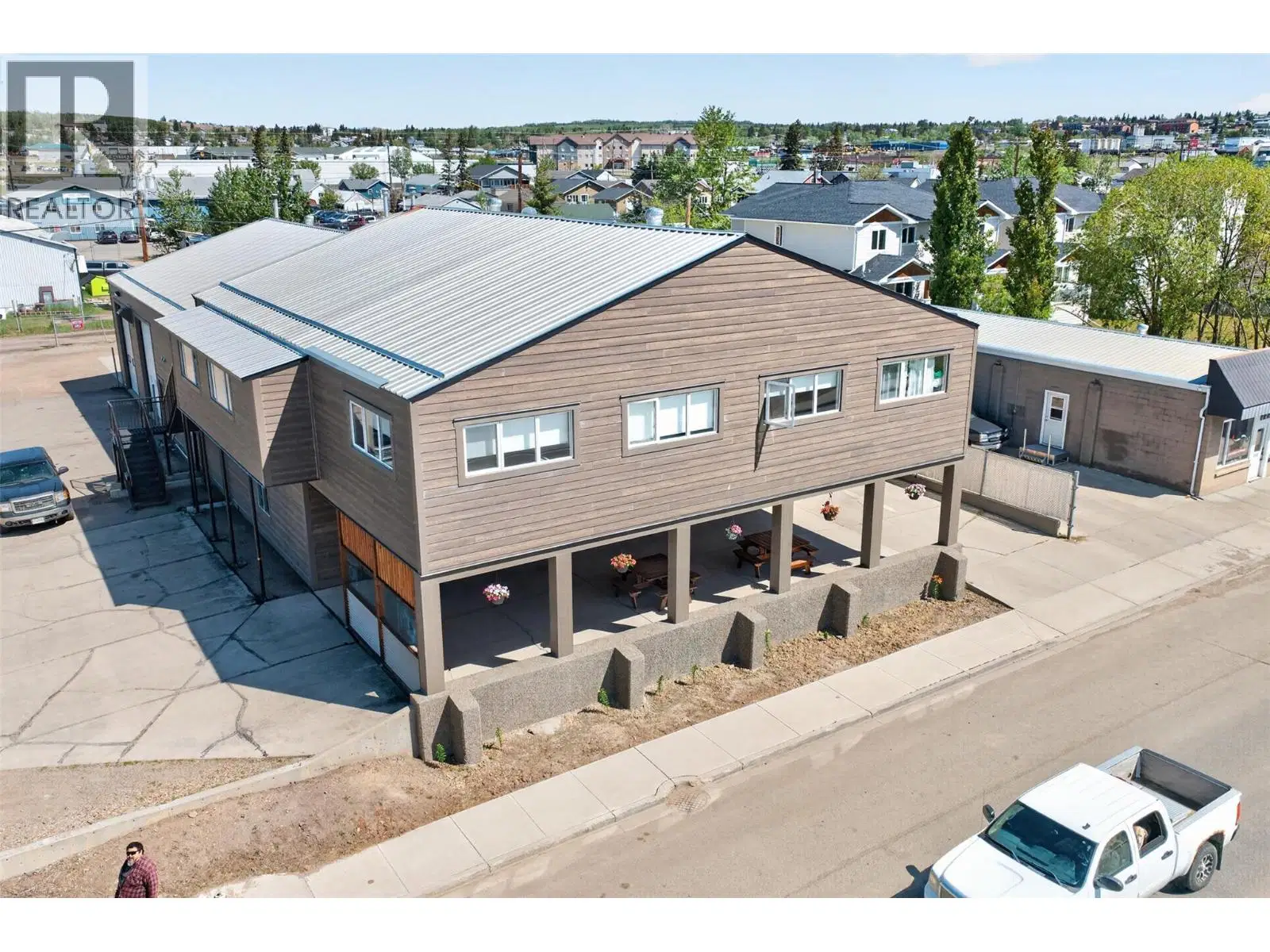
Rare industrial/agricultural opportunity offering 31 acres with rail access and extensive infrastructure already in place. This unique property is ideally suited for feed operations, agricultural services, storage, trucking, manufacturing, or a variety of industrial and commercial ventures. This property was originally operated as Erbe's Feed Mill. Also included is a charming heritage home with newer foundation, offering comfortable living space right on site for an owner/operator or staff housing. The property features a functional feed mill operation complete with 4 bins, 2 hopper storage units, and excellent setup for material handling and processing. The 60x90 shop with 16’ overhead door provides substantial workspace for equipment, servicing, fabrication, or storage, while the additional drive-through building with 14’ door and office space adds further operational flexibility. With rail access, ample yard space, fenced areas, multiple outbuildings, dugouts, cisterns, and approximately 20 acres of productive hay land, this property offers a combination of functionality and expansion potential that is difficult to find. Located just minutes from Dawson Creek with exceptional views and easy access, this is a versatile investment opportunity for owner-operators or businesses looking to expand their footprint in the Peace Region.
Home facts
- Year built
- 1954
- Parking
- 2
- Property type
- Other
- Garage
- Yes
- Area
- Dawson Creek
- Listed
- May 12, 2026
- Structure
- Residential Commercial Mix
- PID
- 011-486-619
Features and inclusions
- Heating
- Forced air, See remarks
- Roof
- Metal, Unknown
- Parking
- Detached Garage, Other, RV, Oversize, Additional Parking
- Lot
- Private setting, Treed
- Community
- Rural Setting
Rooms and building
- Sewer
- Septic tank
- Water
- Cistern

The information contained on this site is based in whole or in part on information that is provided by members of The Canadian Real Estate Association (CREA), who are responsible for its accuracy. CREA reproduces and distributes this information as a service for its members and assumes no responsibility for its accuracy.
Monthly and upfront costs
Uses the posted 5-year rate (5.19%), 20% down and a 25-year amortization.
Monthly ownership costs
- Principal and interest
- $5,664
- Property tax
- $350/mo
- Home insurance
- $150/mo
- Estimated monthly total
- $6,164
Purchase snapshot
- List price
- $1,195,000
- Down payment
- $239,000 (20%)
- Estimated mortgage
- $956,000
Estimates only. They leave out utilities, upkeep and closing costs.
Borrowing costs
What money costs right now
The rates behind any payment estimate on this page.
- Prime rate
- 4.45%
- Variable mortgages are quoted against this.
- 5 year bond yield
- 3.68%
- Fixed mortgage pricing follows this.
- Policy rate
- 2.25%
- Set by the Bank of Canada.
These are benchmark rates, not mortgage quotes. Your rate depends on the lender, the term, and your file.
Source: Bank of Canada. As of 2026-09-29
Property tax
What the tax bill looks like
Municipal, regional, hospital and school rates combined.
- Estimated annual tax
- $13,783
- At 11.5342 per $1,000 of assessed value.
Estimated by applying the municipal rate to the asking price. Your actual bill is based on the BC Assessment value, which is set separately and usually differs from the sale price. Home owner grants are not included.
Source: Province of British Columbia, Local Government Statistics Schedule 702, 2026. As of 2026-01-01
Neighbourhood
Estimated travel times. Map data © OpenStreetMap contributors.
Land and hazards
What the maps say about this land
Provincial designations and mapped natural hazards at this location.
- Agricultural Land Reserve
- In the ALR
- Provincial farmland protection restricts subdivision and non-farm use.
- Wildfire interface
- Low risk
- In a mapped wildland-urban interface zone. Affects insurance and FireSmart requirements.
Based on where this point falls in provincial map layers, not a site survey or a formal hazard assessment. Confirm with the municipality, a professional, and your insurer before relying on it.
Source: BC Geographic Warehouse (Agricultural Land Commission, BC Wildfire Service)
Most listed
Detached · 49%