- Active
12725 Carr Street
Stave Falls, Mission · Land
- Lot size
- 1.73 acres
Listed by Homelife Advantage Realty Ltd. · MLS® R3122781
There is more to this listing. Create a free account to see the exact location, taxes, room sizes and price history.
Sign inListing history
Price history and sold data need a free account
See price changes and nearby sales with a free account.
About this home
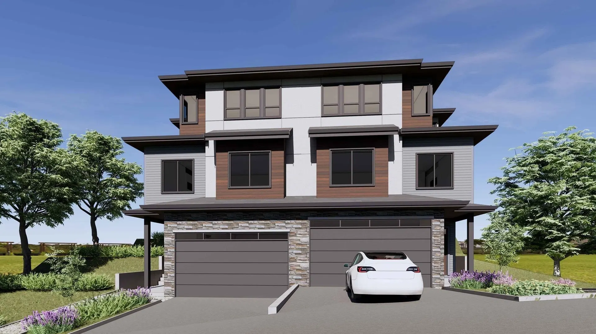
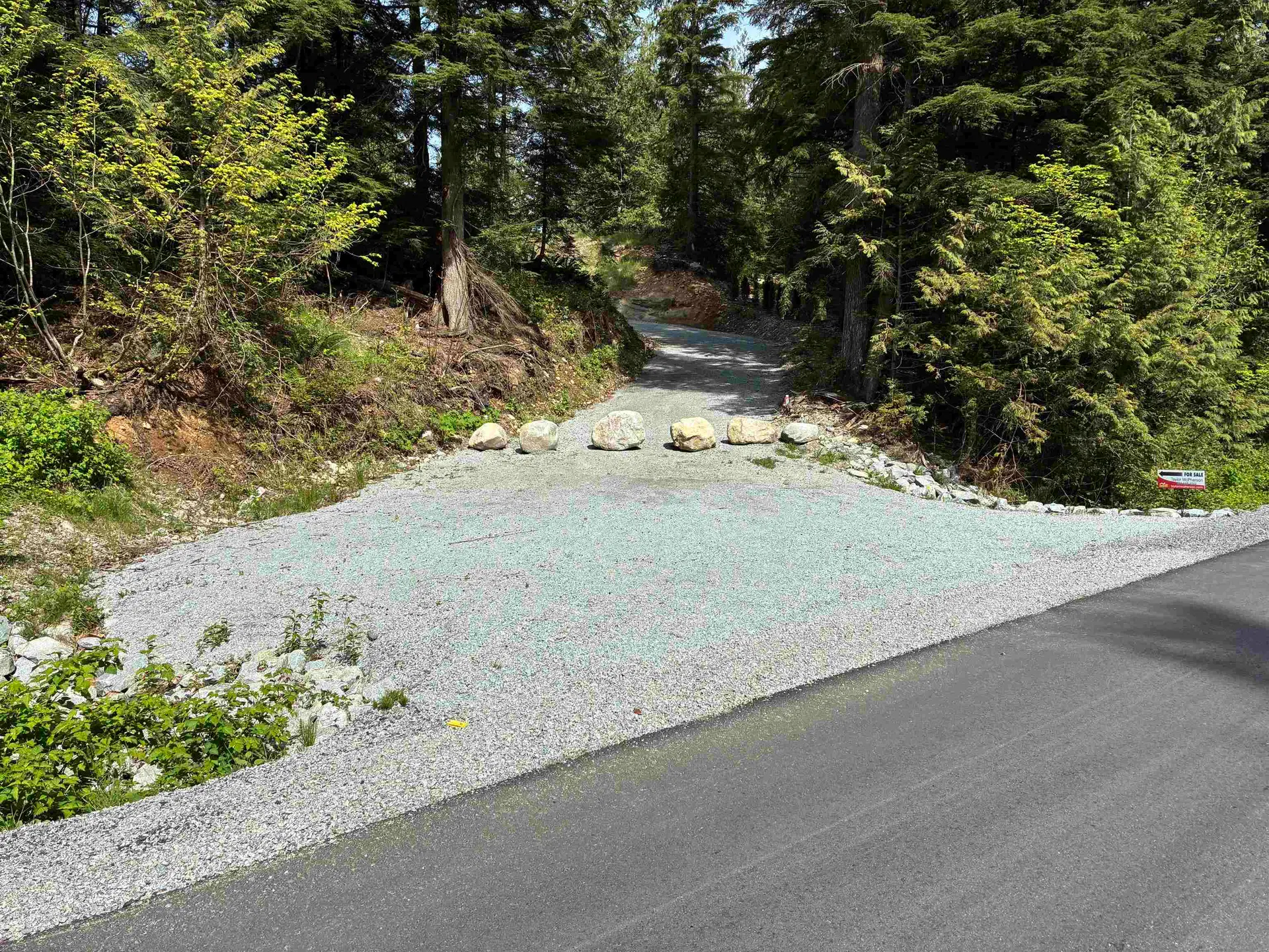
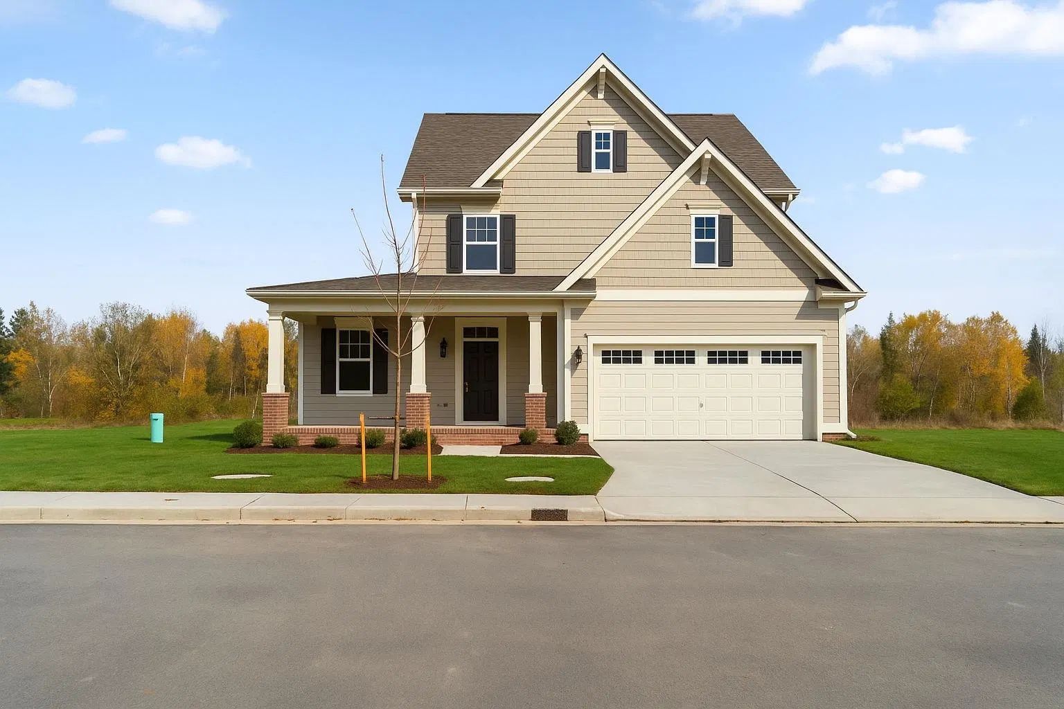
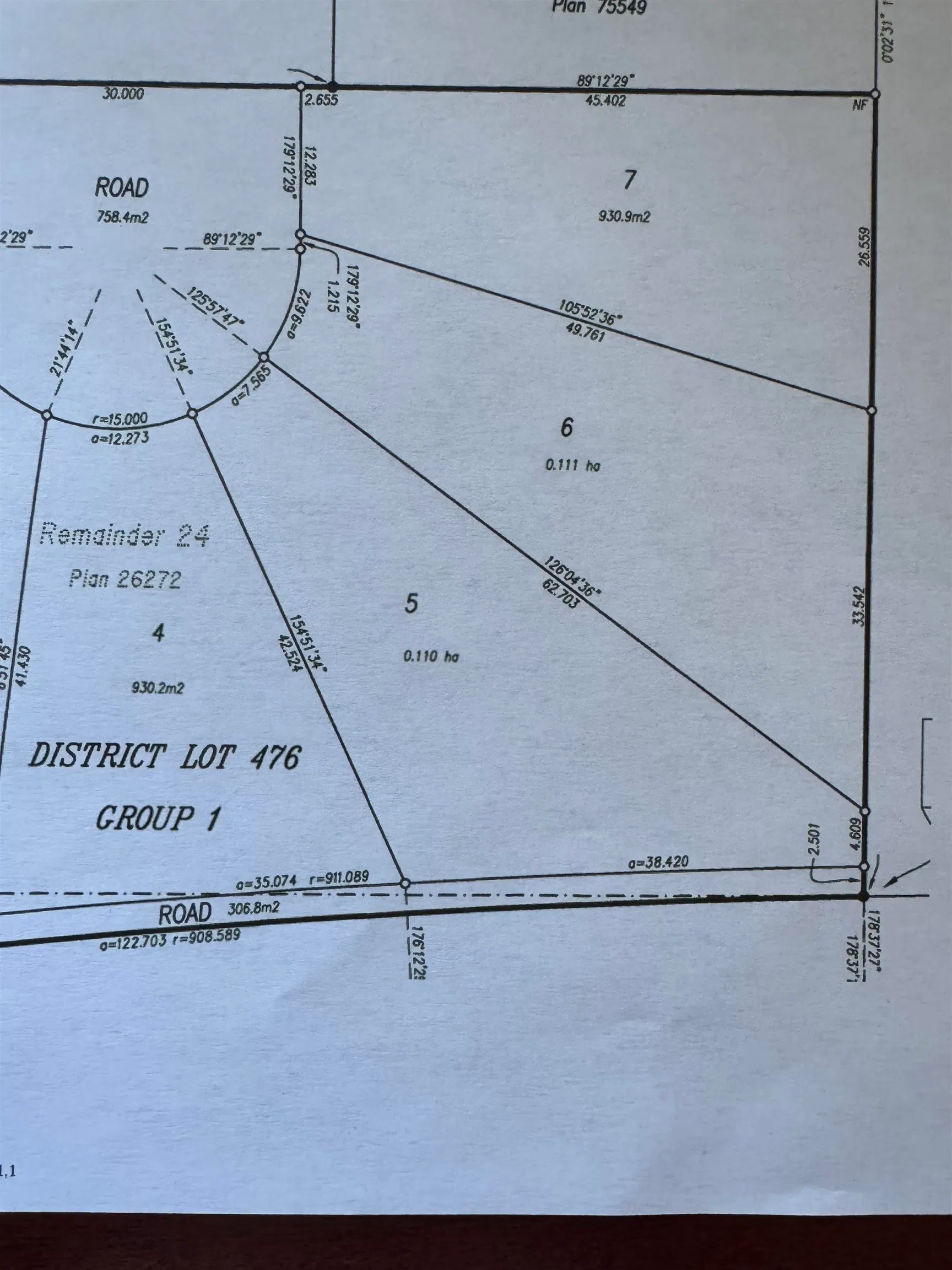
BUILD NOW! Lot 3 of five newly registered building lots. This 1.73 acre parcel offers a level building site with room for a shop or build carriage home while you save for your dream home! Forested SPEA provides endless exploring for the kids. RR7S-zoning allows for hobby farms, two dwelling units inc. suites and carriage homes or Duplexes!. This exclusive subdivision is designed around a meandering creek, offering privacy and enhancing the property’s natural beauty. Building envelopes are optimized to provide for spacious homes. Each lot is serviced with gas, hydro (400 Amp), pre drilled wells and are ready for you to begin building. Bordering Mission and Maple Ridge, this stunning location offers a serene lifestyle. Quick access to trails, mountains, lakes & only 15 min to town. NO STRATA
Home facts
- Lot size
- 1.73 acres
- Property type
- Land
- Area
- Mission
- Sub-area
- Stave Falls
- Structure
- Land Only
Features and inclusions
- Lot
- Wooded, Cleared, Cul-De-Sac, Greenbelt, Private, Recreation Nearby, Rural Setting
This representation is based in whole or in part on data generated by the Chilliwack & District Real Estate Board, Fraser Valley Real Estate Board or Real Estate Board of Greater Vancouver which assumes no responsibility for its accuracy.
Monthly and upfront costs
Uses the posted 5-year rate (5.19%), 20% down and a 25-year amortization.
Monthly ownership costs
- Principal and interest
- $3,199
- Property tax
- $200/mo
- Home insurance
- $150/mo
- Estimated monthly total
- $3,549
Purchase snapshot
- List price
- $674,900
- Down payment
- $134,980 (20%)
- Estimated mortgage
- $539,920
Estimates only. They leave out utilities, upkeep and closing costs.
Borrowing costs
What money costs right now
The rates behind any payment estimate on this page.
- Prime rate
- 4.45%
- Variable mortgages are quoted against this.
- 5 year bond yield
- 3.68%
- Fixed mortgage pricing follows this.
- Policy rate
- 2.25%
- Set by the Bank of Canada.
These are benchmark rates, not mortgage quotes. Your rate depends on the lender, the term, and your file.
Source: Bank of Canada. As of 2026-09-29
Property tax
What the tax bill looks like
Municipal, regional, hospital and school rates combined.
- Estimated annual tax
- $2,994
- At 4.4369 per $1,000 of assessed value.
Estimated by applying the municipal rate to the asking price. Your actual bill is based on the BC Assessment value, which is set separately and usually differs from the sale price. Home owner grants are not included.
Source: Province of British Columbia, Local Government Statistics Schedule 702, 2026. As of 2026-01-01
Space and layout
Room sizes and building details need a free account
See room sizes, the floor-by-floor split, construction and the lot with a free account.
Home value
Home value figures need a free account
See how this home is valued with a free account.
Neighbourhood
Estimated travel times. Map data © OpenStreetMap contributors.
Climate
What the weather is like in Abbotsford-Mission
Ten year average, 2016–2025.
- Average temperature
- 10.9°C
- Daily mean across the year.
- Yearly precipitation
- 1,452 mm
- A wetter corner of the province.
- Yearly snowfall
- 54 cm
- Expect real winters.
- Bright sunshine
- 1,887 h
- Hours of sun a year, 1981–2010 average.
Averaged from the last ten complete years of Environment Canada observations at the nearest principal station, so it reflects the climate as it is now rather than a thirty year normal. Bright sunshine is the exception: it is no longer measured at these stations, so that figure is the long term average.
Source: Environment and Climate Change Canada, monthly climate summaries
Land and hazards
What the maps say about this land
Provincial designations and mapped natural hazards at this location.
- Wildfire interface
- Moderate risk
- In a mapped wildland-urban interface zone. Affects insurance and FireSmart requirements.
Based on where this point falls in provincial map layers, not a site survey or a formal hazard assessment. Confirm with the municipality, a professional, and your insurer before relying on it.
Source: BC Geographic Warehouse (Agricultural Land Commission, BC Wildfire Service)
Most listed
Detached · 55%
Who lives here
Documents
Pick the records you want. Ray Rasouli will email what the listing brokerage shares.
Availability is not guaranteed. Review documents with a professional.