- Active
15210 97 Highway
Osoyoos · Other
Listed by eXp Realty · MLS® 10401518
There is more to this listing. Create a free account to see the exact location, taxes, room sizes and price history.
Sign inAbout this home
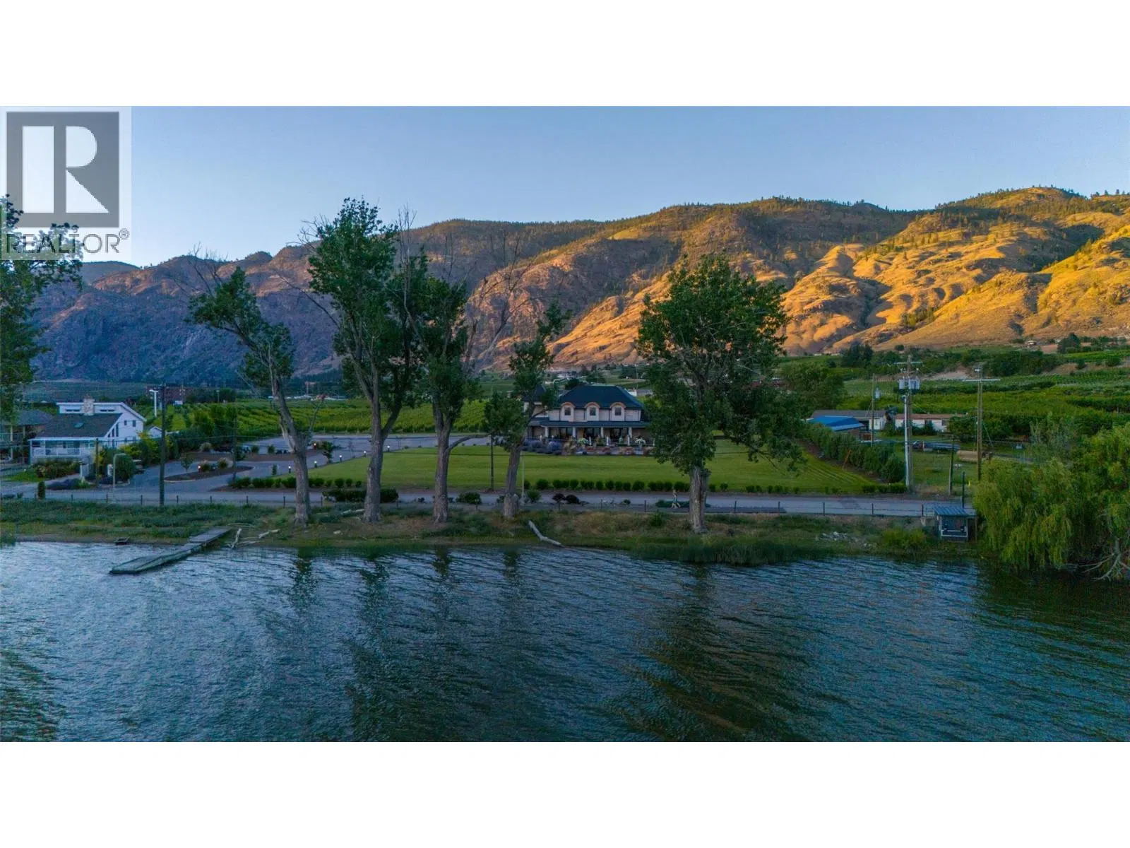
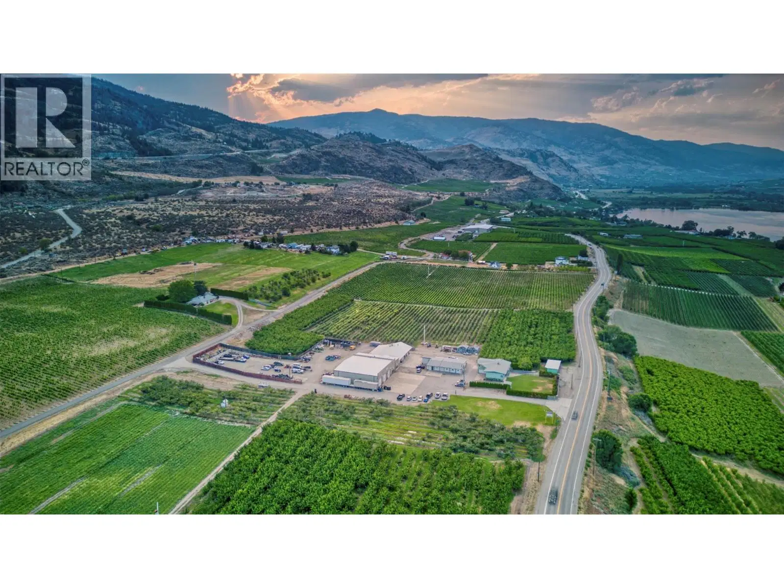
Unique mixed-use property offering a rare blend of industrial, agricultural, and residential potential. Situated on 10.359 acres with convenient access from Highway 97 and 103 Street, this versatile property features an established orchard, a residence, and extensive shop and storage facilities. The 1.97-acre site-specific general industrial portion includes an impressive 14,000 sq. ft. shop equipped with 1,000-amp, 3-phase power, three bathrooms, a 1,600 sq. ft. upper level, and an 800 sq. ft. apartment currently under construction. A 4-bay garage with 60-amp service and a 1,000 sq. ft. outbuilding with 30-amp single-phase power—complete with a walk-in cooler currently used for storage—add to the property's functionality. The orchard spans approximately 8 acres, including 2 acres of prunes, 3 acres of apples, and 3 acres of cherries, and is supported by a frost protection (wind) machine. Infrastructure highlights include underground electrical (no overhead wires), newer LED lighting, and multiple overhead and bay doors of varying sizes, offering exceptional flexibility for operations, storage, or automotive use. This well-equipped and strategically located property presents a compelling opportunity for investors, operators, or those seeking a dynamic live-work environment.
Home facts
- Property type
- Other
- Garage
- Yes
- Area
- Osoyoos Rural
- Listed
- October 1, 2026
- Structure
- Residential Commercial Mix
- PID
- 011-046-155
Features and inclusions
- Heating
- Radiant heat, Forced air
- Cooling
- Central air conditioning, See Remarks
- Roof
- Metal, Vinyl Shingles, Unknown
- Parking
- Other, RV, Oversize, See Remarks, Heated Garage, Additional Parking
Rooms and building
- Sewer
- Septic tank
- Water
- Municipal water

The information contained on this site is based in whole or in part on information that is provided by members of The Canadian Real Estate Association (CREA), who are responsible for its accuracy. CREA reproduces and distributes this information as a service for its members and assumes no responsibility for its accuracy.
Monthly and upfront costs
Uses the posted 5-year rate (5.19%), 20% down and a 25-year amortization.
Monthly ownership costs
- Principal and interest
- $27,017
- Property tax
- $1,667/mo
- Home insurance
- $150/mo
- Estimated monthly total
- $28,833
Purchase snapshot
- List price
- $5,700,000
- Down payment
- $1,140,000 (20%)
- Estimated mortgage
- $4,560,000
Estimates only. They leave out utilities, upkeep and closing costs.
Borrowing costs
What money costs right now
The rates behind any payment estimate on this page.
- Prime rate
- 4.45%
- Variable mortgages are quoted against this.
- 5 year bond yield
- 3.68%
- Fixed mortgage pricing follows this.
- Policy rate
- 2.25%
- Set by the Bank of Canada.
These are benchmark rates, not mortgage quotes. Your rate depends on the lender, the term, and your file.
Source: Bank of Canada. As of 2026-09-29
Property tax
What the tax bill looks like
Municipal, regional, hospital and school rates combined.
- Estimated annual tax
- $32,159
- At 5.6420 per $1,000 of assessed value.
Estimated by applying the municipal rate to the asking price. Your actual bill is based on the BC Assessment value, which is set separately and usually differs from the sale price. Home owner grants are not included.
Source: Province of British Columbia, Local Government Statistics Schedule 702, 2026. As of 2026-01-01
Neighbourhood
Estimated travel times. Map data © OpenStreetMap contributors.
Land and hazards
What the maps say about this land
Provincial designations and mapped natural hazards at this location.
- Agricultural Land Reserve
- In the ALR
- Provincial farmland protection restricts subdivision and non-farm use.
- Wildfire interface
- Extreme risk
- In a mapped wildland-urban interface zone. Affects insurance and FireSmart requirements.
Based on where this point falls in provincial map layers, not a site survey or a formal hazard assessment. Confirm with the municipality, a professional, and your insurer before relying on it.
Source: BC Geographic Warehouse (Agricultural Land Commission, BC Wildfire Service)
Most listed
Detached · 69%