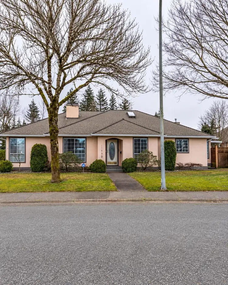
- Active
- Newly listed
16490 84a Avenue
Fleetwood Tynehead, Surrey · Single Family Residence
- Beds
- 3
Fleetwood Tynehead, Surrey · Single Family Residence
Listed by SRS Panorama Realty · MLS® R3174034
There is more to this listing. Create a free account to see the exact location, taxes, room sizes and price history.
Sign in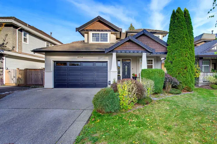
$1,588,000
$444/sqft
7 bd · 4 ba · 3,573 sqft
8256 170 Street
Surrey · Single Family Residence
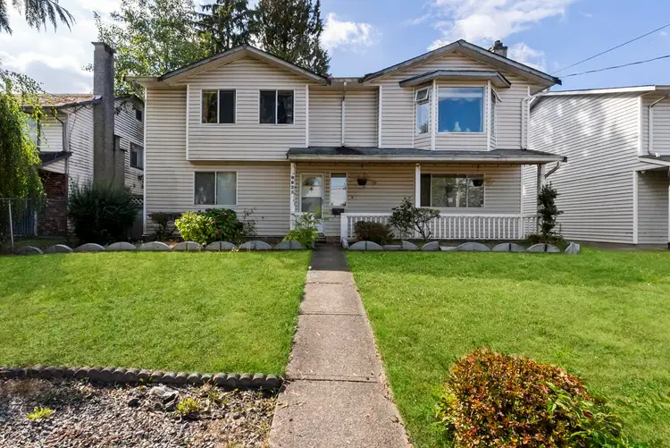
$1,195,000
$546/sqft
5 bd · 3 ba · 2,187 sqft
8825 160 Street
Surrey · Single Family Residence
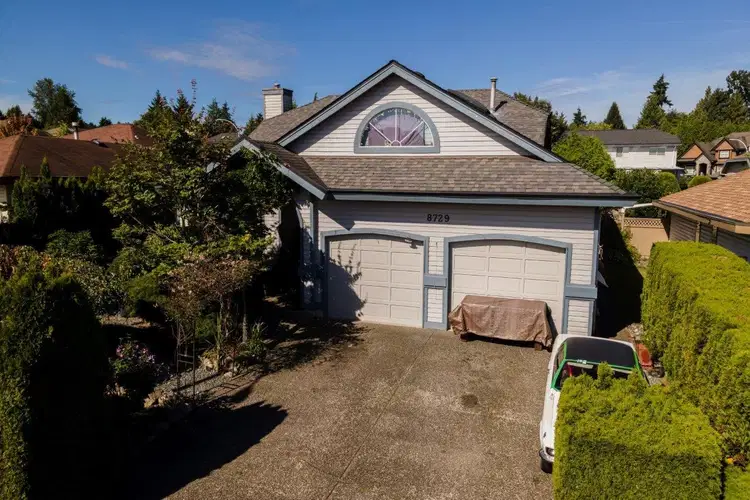
$1,098,000
$506/sqft
3 bd · 2 ba · 2,171 sqft
8729 164 Street
Surrey · Single Family Residence
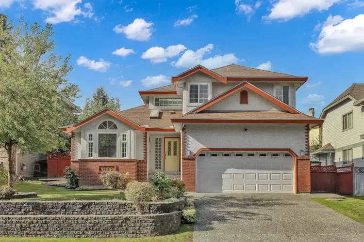
$1,190,000
$556/sqft
3 bd · 3 ba · 2,140 sqft
9433 164 Street
Surrey · Single Family Residence
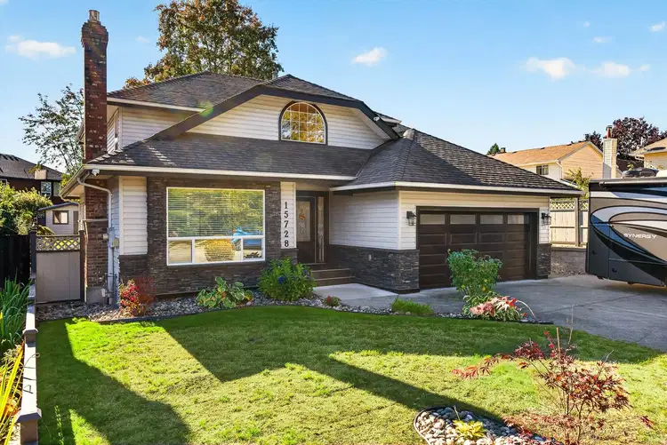
$1,390,000
$584/sqft
4 bd · 3 ba · 2,381 sqft
15728 90 Avenue
Surrey · Single Family Residence
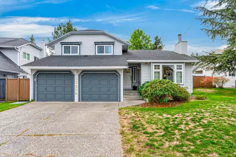
$1,239,000
$466/sqft
3 bd · 3 ba · 2,660 sqft
15276 95 Avenue
Surrey · Single Family Residence
See price changes and nearby sales with a free account.
Priced over $114,000 below BC Assessment! Single-level living in Fleetwood’s sought-after Tynehead Terrace! This 3-bedroom, 2-bathroom rancher offers approximately 1,756 sq. ft. on a 7,477 sq. ft. corner lot. Features include separate living and family rooms, two gas fireplaces, hardwood flooring, air conditioning and a spacious primary bedroom with a walk-in closet and ensuite. Enjoy a private backyard, large patio, double garage and extra-long driveway with room for RV parking. Conveniently located near shopping, recreation, transit and the future Bakerview–166 Street SkyTrain station. R3 zoning offers options to explore for future redevelopment, subject to site-specific requirements and City approvals. Buyers to verify development possibilities with the City of Surrey.
Board rules show these details to signed-in buyers who accept the VOW terms.
This representation is based in whole or in part on data generated by the Chilliwack & District Real Estate Board, Fraser Valley Real Estate Board or Real Estate Board of Greater Vancouver which assumes no responsibility for its accuracy.
Uses the posted 5-year rate (5.19%), 20% down and a 25-year amortization.
Estimates only. They leave out utilities, upkeep and closing costs.
See room sizes, the floor-by-floor split, construction and the lot with a free account.
See how this home is valued with a free account.
Estimated travel times. Map data © OpenStreetMap contributors.
Most listed
Detached · 44%
Active listings within 3 km of this home.
Source: Statistics Canada, 2021 Census of Population. 405 dwellings.
Statistics Canada area 59153733 · Surrey
Source: Statistics Canada, 2021 Census Profile, dissemination area 59153733.
Pick the records you want. Ray Rasouli will email what the listing brokerage shares.
Availability is not guaranteed. Review documents with a professional.
Property tax
Municipal, regional, hospital and school rates combined.
Estimated by applying the municipal rate to the asking price. Your actual bill is based on the BC Assessment value, which is set separately and usually differs from the sale price. Home owner grants are not included.
Source: Province of British Columbia, Local Government Statistics Schedule 702, 2026. As of 2026-01-01
Climate
Ten year average, 2016–2025.
Averaged from the last ten complete years of Environment Canada observations at the nearest principal station, so it reflects the climate as it is now rather than a thirty year normal. Bright sunshine is the exception: it is no longer measured at these stations, so that figure is the long term average.
Source: Environment and Climate Change Canada, monthly climate summaries
Borrowing costs
The rates behind any payment estimate on this page.
These are benchmark rates, not mortgage quotes. Your rate depends on the lender, the term, and your file.
Source: Bank of Canada. As of 2026-09-29
For investors
Estimated rent from Statistics Canada rents for this area, scaled to the bedrooms. Gross yield is 12 months of that rent over the asking price, before costs.
Land and hazards
Provincial designations and mapped natural hazards at this location.
Based on where this point falls in provincial map layers, not a site survey or a formal hazard assessment. Confirm with the municipality, a professional, and your insurer before relying on it.
Source: BC Geographic Warehouse (Agricultural Land Commission, BC Wildfire Service)