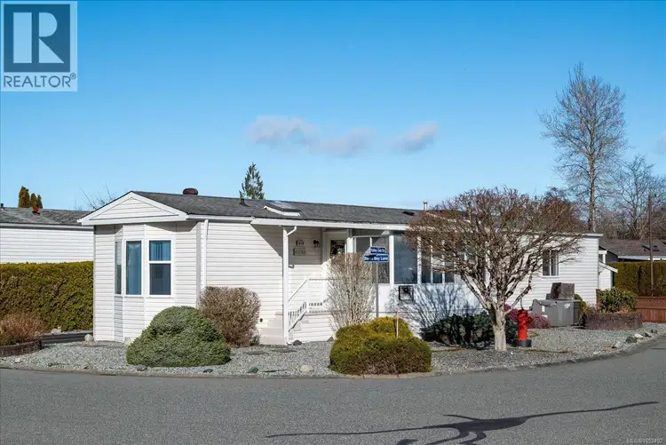
- Active
1839 Valley Oak Drive
Nanaimo · Single Family
- Beds
- 2
- Baths
- 2
- Sqft
- 1,092
- Built
- 1994
Nanaimo · Single Family
Listed by Royal LePage Nanaimo Realty (NanIsHwyN) · MLS® 1052492
There is more to this listing. Create a free account to see the exact location, taxes, room sizes and price history.
Sign in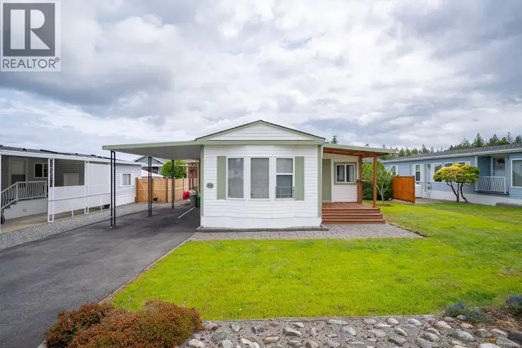
$279,000
$271/sqft
2 bd · 2 ba · 1,028 sqft
#58, 2301 Arbot Road
Nanaimo · Single Family
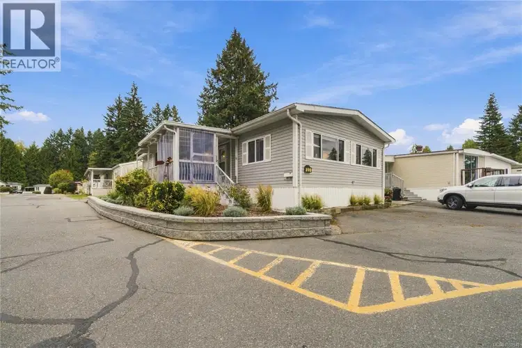
$299,900
$271/sqft
2 bd · 2 ba · 1,107 sqft
#33, 5854 Turner Road
Nanaimo · Single Family
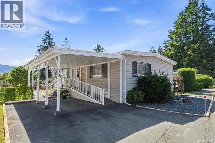
$279,900
$241/sqft
3 bd · 2 ba · 1,162 sqft
#71, 5854 Turner Road
Nanaimo · Single Family
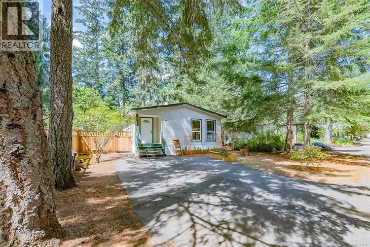
$305,000
$253/sqft
3 bd · 2 ba · 1,206 sqft
#22, 1310 Spruston Road
Nanaimo · Single Family
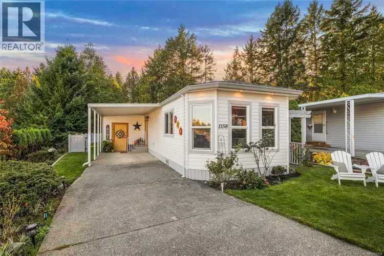
$384,800
$393/sqft
2 bd · 1 ba · 978 sqft
#46, 1158 Morrell Circle
Nanaimo · Single Family
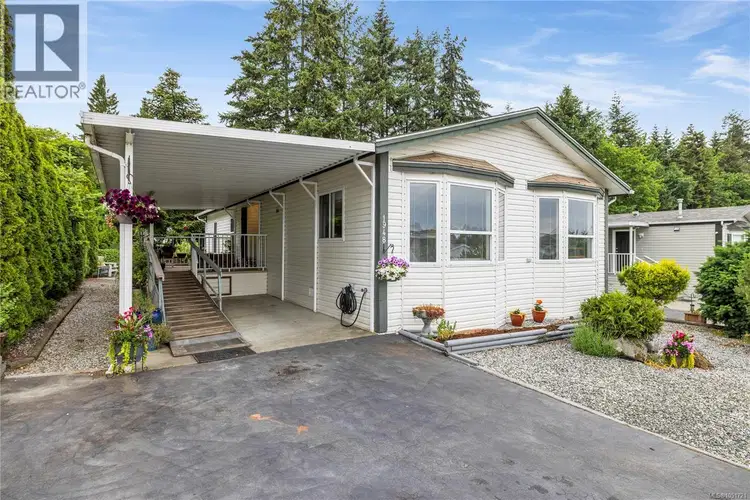
$329,000
$259/sqft
2 bd · 2 ba · 1,268 sqft
1948 Valley Oak Drive
Nanaimo · Single Family
Move-in ready and beautifully maintained, 2-bedroom, 2-bathroom rancher which offers easy living in the popular Valley Oaks 45+ MHP. With nearly 1,100 sq. ft., the bright open concept features a spacious living area, updated kitchen, dining area, and cozy sunroom/family room with gas fireplace. The kitchen features a skylight, while the heat pump provides efficient year-round heating and cooling. Both the heat pump and gas fireplace were professionally serviced this month. Situated on a corner lot, the property offers a low-maintenance yard with two driveways, one on each side, plus a main and secondary entrance. A covered deck, carport, with RV parking available. Updates include the kitchen, hot water tank, and newer flooring in the kitchen, living room, dining area, and ensuite. Ideally located near the Aquatic Centre, Buttertubs Marsh, shopping, restaurants, and transit. A great opportunity for comfortable, low-maintenance living. One small pet permitted; see park rules for details.

The information contained on this site is based in whole or in part on information that is provided by members of The Canadian Real Estate Association (CREA), who are responsible for its accuracy. CREA reproduces and distributes this information as a service for its members and assumes no responsibility for its accuracy.
Uses the posted 5-year rate (5.19%), 20% down and a 25-year amortization.
Estimates only. They leave out utilities, upkeep and closing costs.
Estimated travel times. Map data © OpenStreetMap contributors.
Most listed
Detached · 36%
Active listings within 3 km of this home.
Source: Statistics Canada, 2021 Census of Population. 1,040 dwellings.
Statistics Canada area 59210389 · Nanaimo
Source: Statistics Canada, 2021 Census Profile, dissemination area 59210389.
Pick the records you want. Ray Rasouli will email what the listing brokerage shares.
Availability is not guaranteed. Review documents with a professional.
Borrowing costs
The rates behind any payment estimate on this page.
These are benchmark rates, not mortgage quotes. Your rate depends on the lender, the term, and your file.
Source: Bank of Canada. As of 2026-09-29
For investors
Estimated rent from Statistics Canada rents for this area, scaled to the bedrooms. Gross yield is 12 months of that rent over the asking price, before costs.
Climate
Ten year average, 2016–2025.
Averaged from the last ten complete years of Environment Canada observations at the nearest principal station, so it reflects the climate as it is now rather than a thirty year normal. Bright sunshine is the exception: it is no longer measured at these stations, so that figure is the long term average.
Source: Environment and Climate Change Canada, monthly climate summaries
Property tax
Municipal, regional, hospital and school rates combined.
Estimated by applying the municipal rate to the asking price. Your actual bill is based on the BC Assessment value, which is set separately and usually differs from the sale price. Home owner grants are not included.
Source: Province of British Columbia, Local Government Statistics Schedule 702, 2026. As of 2026-01-01
Land and hazards
Provincial designations and mapped natural hazards at this location.
Based on where this point falls in provincial map layers, not a site survey or a formal hazard assessment. Confirm with the municipality, a professional, and your insurer before relying on it.
Source: BC Geographic Warehouse (Agricultural Land Commission, BC Wildfire Service)