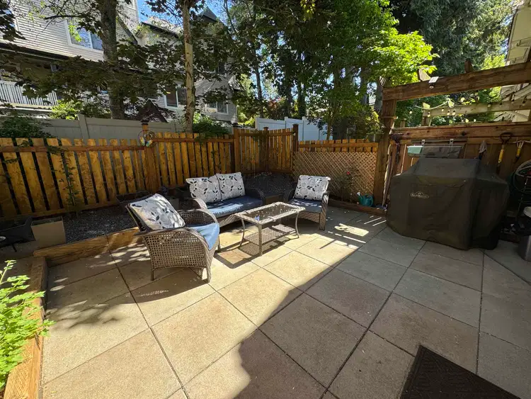
- Active
- Open house Sat, Oct 17
#19 – 2689 Parkway Drive
King George Corridor, Surrey · Townhouse
- Beds
- 3
King George Corridor, Surrey · Townhouse
Listed by RE/MAX Westcoast · MLS® R3176260
There is more to this listing. Create a free account to see the exact location, taxes, room sizes and price history.
Sign inRay Rasouli will reply by email or phone to confirm a time.
See price changes and nearby sales with a free account.
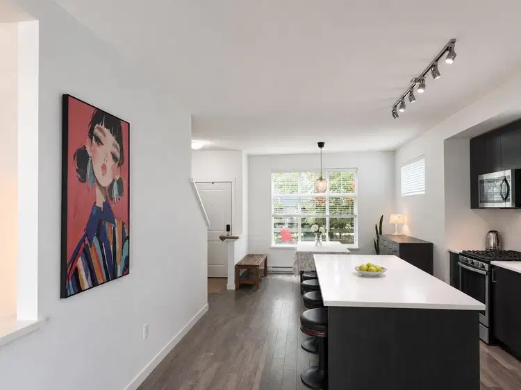
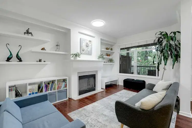
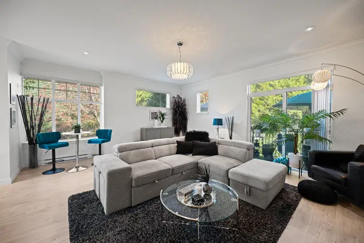
OPEN SAT Oct 17, 2-4 pm Try your offer, This West Stone Dev home has been updated to pristine condition and is ready to move into with quick possession. The extra large master bedroom has a walk-in closet and a luxurious 5 pc bath with separate tub/shower. Three bedrooms all on the upper lever PLUS one more on the lower level that could be perfect as a 4th bedroom (no window) OR office or playroom. BONUS it has a fenced SOUTH backyard, with a BBQ hookup, and the owner has added a patio and garden area. So many built-ins and extra storage, pantry, BBQ hookup outside, large cupboards, new tiles, so much more. EPOXY garage floor too! Check out this rare corner townhome waiting for your consideration. Measurement from Realtor & strata plan, buyers to verify if important.
Board rules show these details to signed-in buyers who accept the VOW terms.
Uses the posted 5-year rate (5.19%), 20% down and a 25-year amortization.
Estimates only. They leave out utilities, upkeep and closing costs.
See room sizes, the floor-by-floor split, construction and the lot with a free account.
See how this home is valued with a free account.
Estimated travel times. Map data © OpenStreetMap contributors.
Most listed
Condo / Apartment · 33%
Active listings within 3 km of this home.
Source: Statistics Canada, 2021 Census of Population. 625 dwellings.
Statistics Canada area 59152652 · Surrey
Source: Statistics Canada, 2021 Census Profile, dissemination area 59152652.
Pick the records you want. Ray Rasouli will email what the listing brokerage shares.
Availability is not guaranteed. Review documents with a professional.
This representation is based in whole or in part on data generated by the Chilliwack & District Real Estate Board, Fraser Valley Real Estate Board or Real Estate Board of Greater Vancouver which assumes no responsibility for its accuracy.
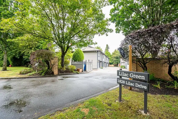
$725,000
$439/sqft
3 bd · 3 ba · 1,653 sqft
#29, 1828 Lilac Drive
Surrey · Townhouse
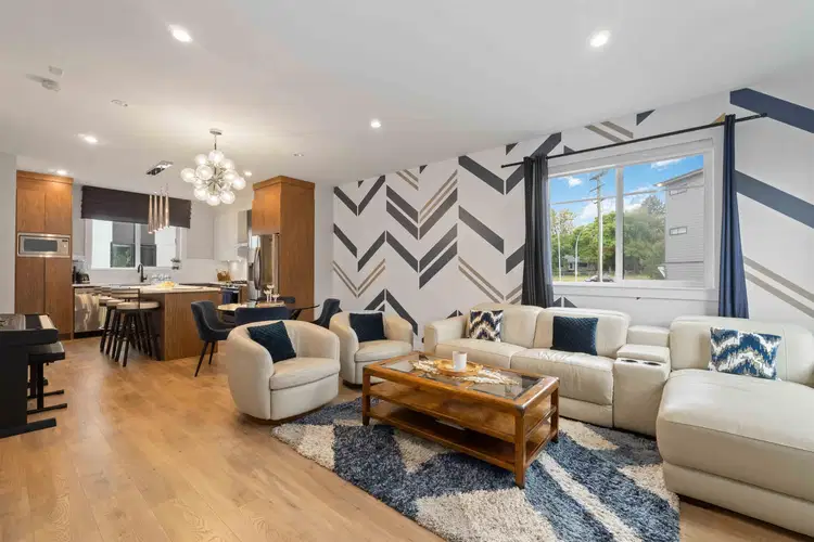
$829,900
$565/sqft
3 bd · 3 ba · 1,470 sqft
#22, 1639 162 Street
Surrey · Townhouse
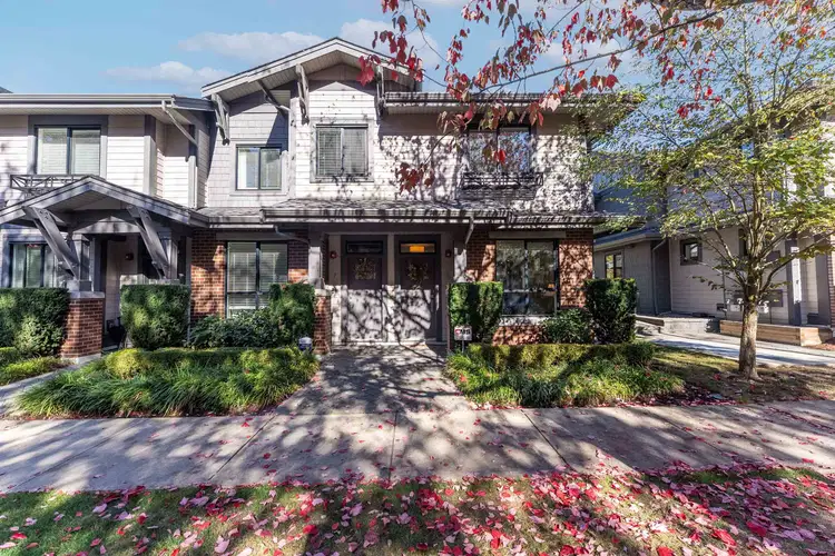
$858,000
$639/sqft
3 bd · 3 ba · 1,342 sqft
#6, 2988 151 Street
Surrey · Townhouse
$788,000
$513/sqft
4 bd · 3 ba · 1,535 sqft
#85, 15268 28 Avenue
Surrey · Townhouse
$769,000
$440/sqft
3 bd · 3 ba · 1,748 sqft
#48, 2678 King George Boulevard
Surrey · Townhouse
$800,000
$494/sqft
3 bd · 4 ba · 1,620 sqft
#9, 2550 156 Street
Surrey · Townhouse
Property tax
Municipal, regional, hospital and school rates combined.
Estimated by applying the municipal rate to the asking price. Your actual bill is based on the BC Assessment value, which is set separately and usually differs from the sale price. Home owner grants are not included.
Source: Province of British Columbia, Local Government Statistics Schedule 702, 2026. As of 2026-01-01
For investors
Estimated rent from Statistics Canada rents for this area, scaled to the bedrooms. Gross yield is 12 months of that rent over the asking price, before costs.
Climate
Ten year average, 2016–2025.
Averaged from the last ten complete years of Environment Canada observations at the nearest principal station, so it reflects the climate as it is now rather than a thirty year normal. Bright sunshine is the exception: it is no longer measured at these stations, so that figure is the long term average.
Source: Environment and Climate Change Canada, monthly climate summaries
Borrowing costs
The rates behind any payment estimate on this page.
These are benchmark rates, not mortgage quotes. Your rate depends on the lender, the term, and your file.
Source: Bank of Canada. As of 2026-09-29
Land and hazards
Provincial designations and mapped natural hazards at this location.
Based on where this point falls in provincial map layers, not a site survey or a formal hazard assessment. Confirm with the municipality, a professional, and your insurer before relying on it.
Source: BC Geographic Warehouse (Agricultural Land Commission, BC Wildfire Service)