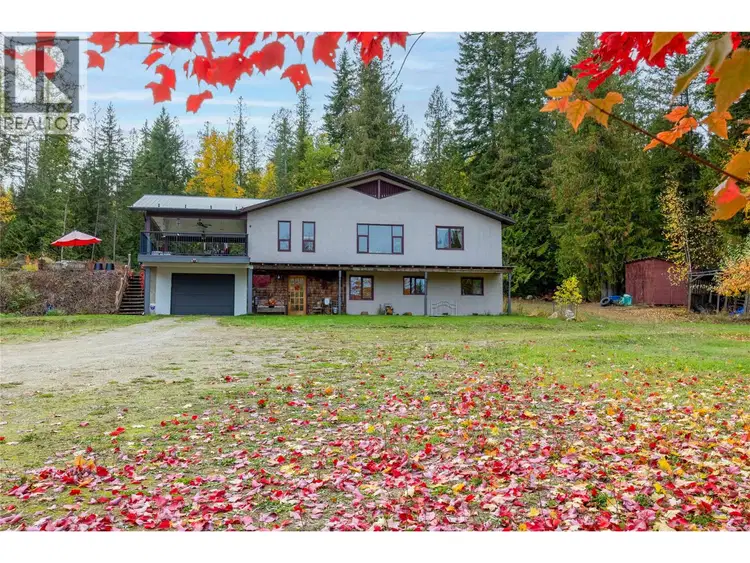
- Active
22 Crossman Road
Enderby · Single Family
- Beds
- 3
- Baths
- 2
Enderby · Single Family
Listed by B.C. Farm & Ranch Realty Corp. · MLS® 10403831
There is more to this listing. Create a free account to see the exact location, taxes, room sizes and price history.
Sign in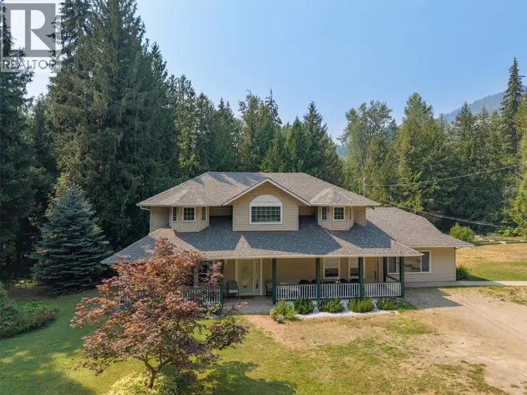
$925,000
$323/sqft
4 bd · 3 ba · 2,862 sqft
46 Novoting Road
Enderby · Single Family
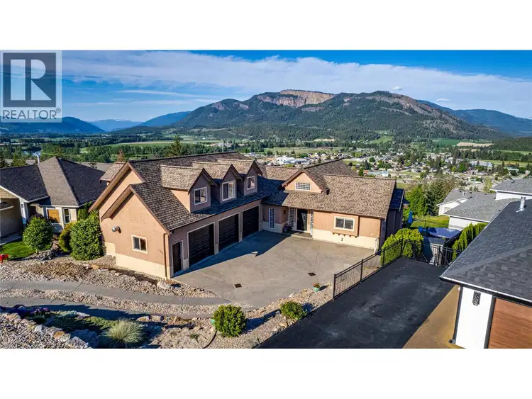
$999,000
$231/sqft
4 bd · 5 ba · 4,332 sqft
108 Red Rock Crescent
Enderby · Single Family
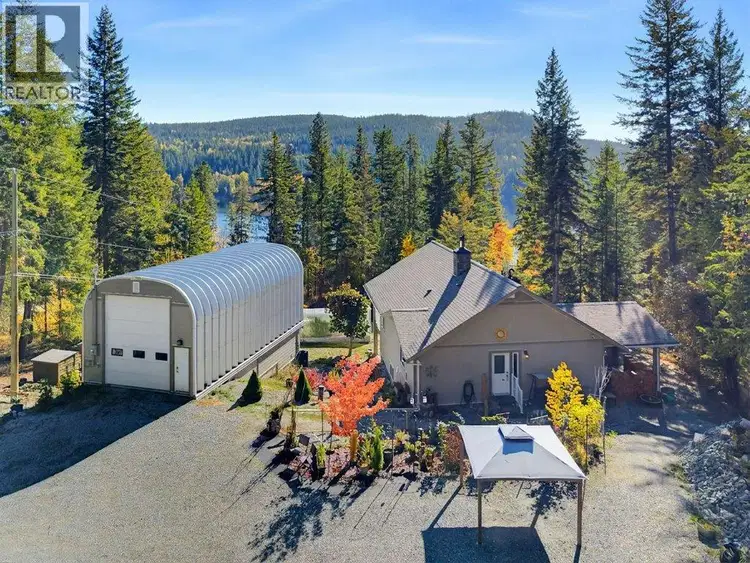
$974,900
$428/sqft
4 bd · 3 ba · 2,277 sqft
741 Gardom Lake Road
Enderby · Single Family
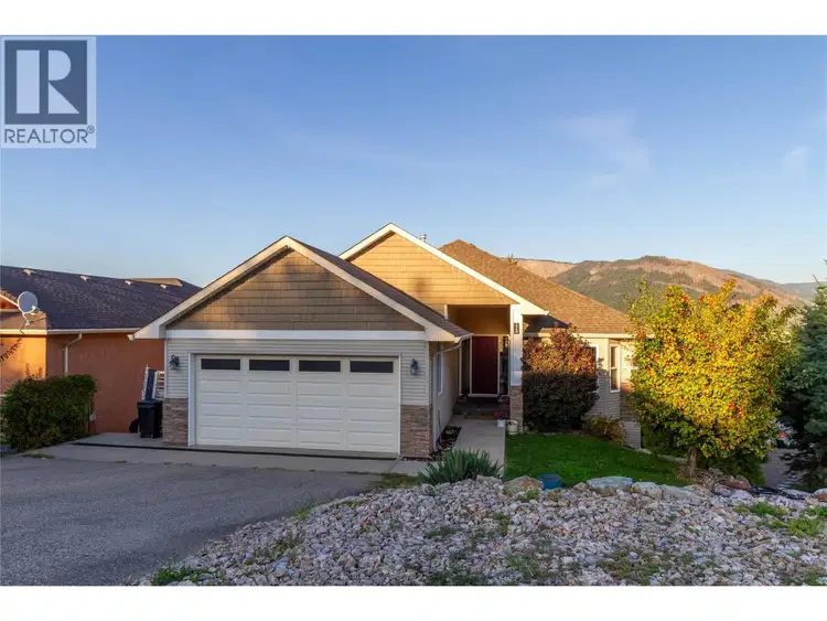
$849,900
$270/sqft
5 bd · 3 ba · 3,151 sqft
110 Red Rock Crescent
Enderby · Single Family
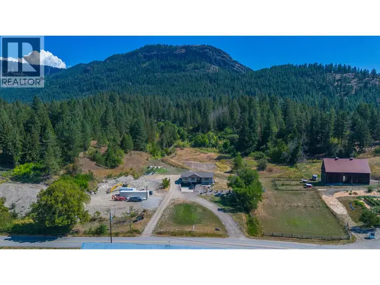
$1,199,000
$607/sqft
4 bd · 2 ba · 1,976 sqft
211 Enderby Grindrod Road
Enderby · Single Family
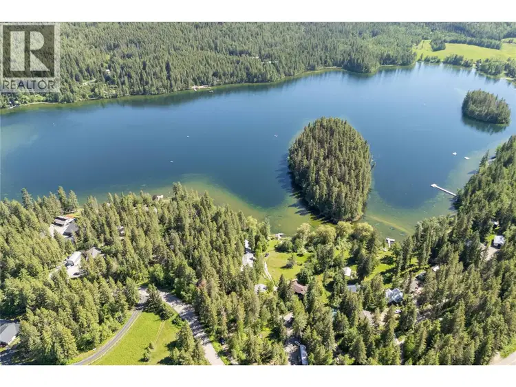
$899,900
$212/sqft
5 bd · 6 ba · 4,247 sqft
769 & 771 Gardom Lake Road
Enderby · Single Family
Very private 10 acre parcel is not in the ALR, 2400+ sq.ft. home with mountain views. Great location minutes from Gardom Lake, 2 min. to Hwy 97B, 15 min. to Salmon Arm and 30 min. to Vernon. The home has 3 bedrooms, 2 bathrooms, and office/den. The upstairs includes an open concept kitchen/dining room/living room, and a laundry room, main bedroom and bath, and a large covered deck off the kitchen. The full basement includes family room with natural gas fireplace, 2 bedrooms, bathroom, small office/den, efficient wood & natural gas furnaces, and utility room/man cave with new hot water tank and water softener (both 2025). New R50 insulation in the ceiling (2026), drilled well, new pump (2026) and pressure tank (2023). Newly rebuilt driveway (2026). On a local school bus route, and close proximity to the Deep Creek fire hall. Large 55 x 40 shop features a wood working area, and a mechanical side for vehicle work, mezzanine for storage. Fruit trees, chicken house, fenced garden, greenhouse, and pond. The 10 acres has about 4 acres cleared, which could be fenced for livestock or expand into more garden area. The balance is treed for privacy with potential for timber salvage. Zoned rural residential and subdivisible with approvals. The zoning allows for a minimum parcel size of 4.94 acres.Information displayed is believed to be accurate, all measurements are approximate and not to be relied on, if important they should be independently verified.

The information contained on this site is based in whole or in part on information that is provided by members of The Canadian Real Estate Association (CREA), who are responsible for its accuracy. CREA reproduces and distributes this information as a service for its members and assumes no responsibility for its accuracy.
Uses the posted 5-year rate (5.19%), 20% down and a 25-year amortization.
Estimates only. They leave out utilities, upkeep and closing costs.
Estimated travel times. Map data © OpenStreetMap contributors.
Most listed
Land · 55%
Active listings within 5 km of this home.
Source: Statistics Canada, 2021 Census of Population. 220 dwellings.
Statistics Canada area 59370131 · North Okanagan F
Source: Statistics Canada, 2021 Census Profile, dissemination area 59370131.
Pick the records you want. Ray Rasouli will email what the listing brokerage shares.
Availability is not guaranteed. Review documents with a professional.
Borrowing costs
The rates behind any payment estimate on this page.
These are benchmark rates, not mortgage quotes. Your rate depends on the lender, the term, and your file.
Source: Bank of Canada. As of 2026-10-29
For investors
Estimated rent from Statistics Canada rents for this area, scaled to the bedrooms. Gross yield is 12 months of that rent over the asking price, before costs.
Property tax
Municipal, regional, hospital and school rates combined.
Estimated by applying the municipal rate to the asking price. Your actual bill is based on the BC Assessment value, which is set separately and usually differs from the sale price. Home owner grants are not included.
Source: Province of British Columbia, Local Government Statistics Schedule 702, 2026. As of 2026-01-01
Land and hazards
Provincial designations and mapped natural hazards at this location.
Based on where this point falls in provincial map layers, not a site survey or a formal hazard assessment. Confirm with the municipality, a professional, and your insurer before relying on it.
Source: BC Geographic Warehouse (Agricultural Land Commission, BC Wildfire Service)