- Active
2945 Botta Road
Kamloops · Vacant Land
Listed by LandQuest Realty Corp. (Interior) · MLS® 10388476
There is more to this listing. Create a free account to see the exact location, taxes, room sizes and price history.
Sign inAbout this home
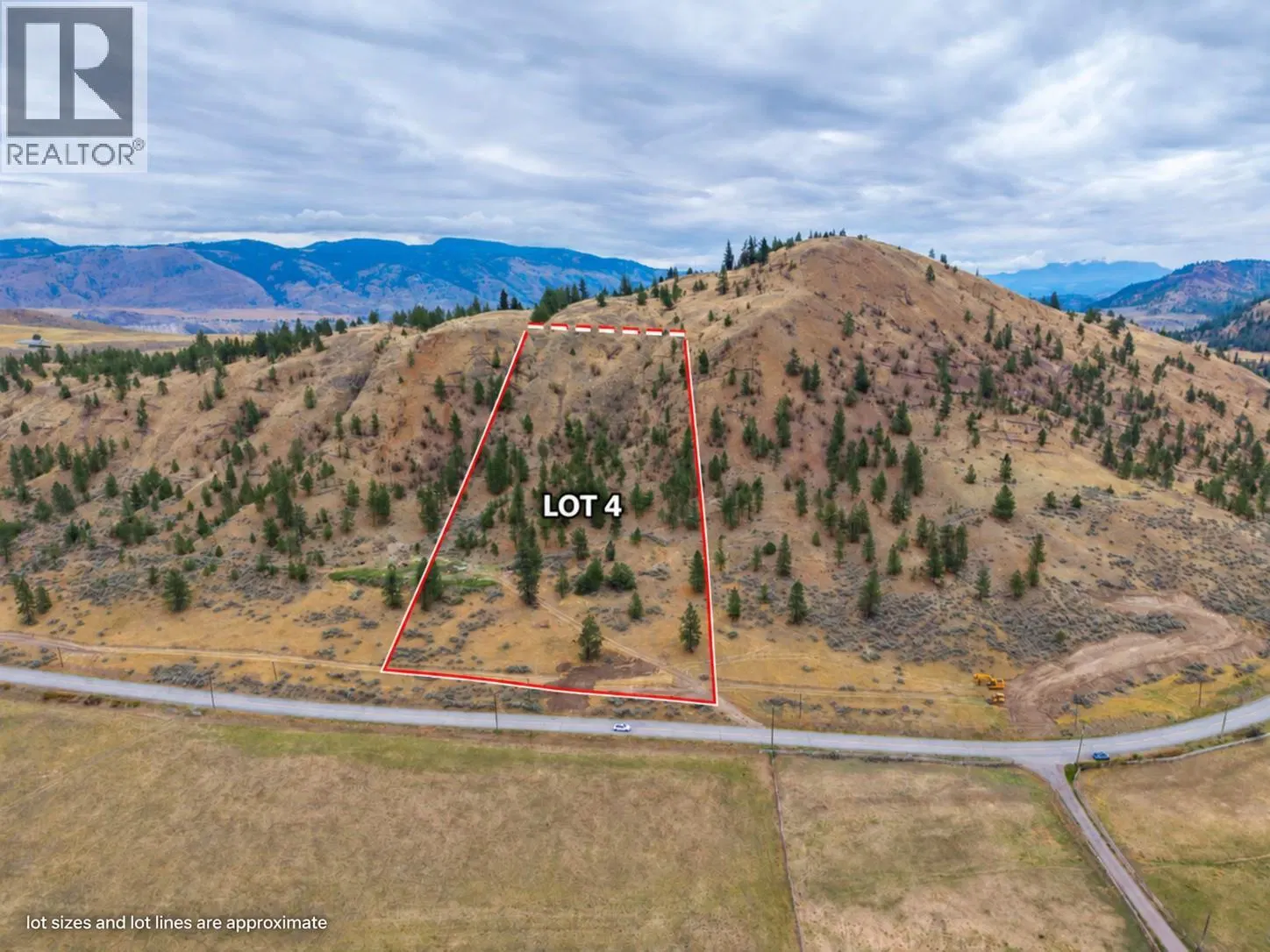
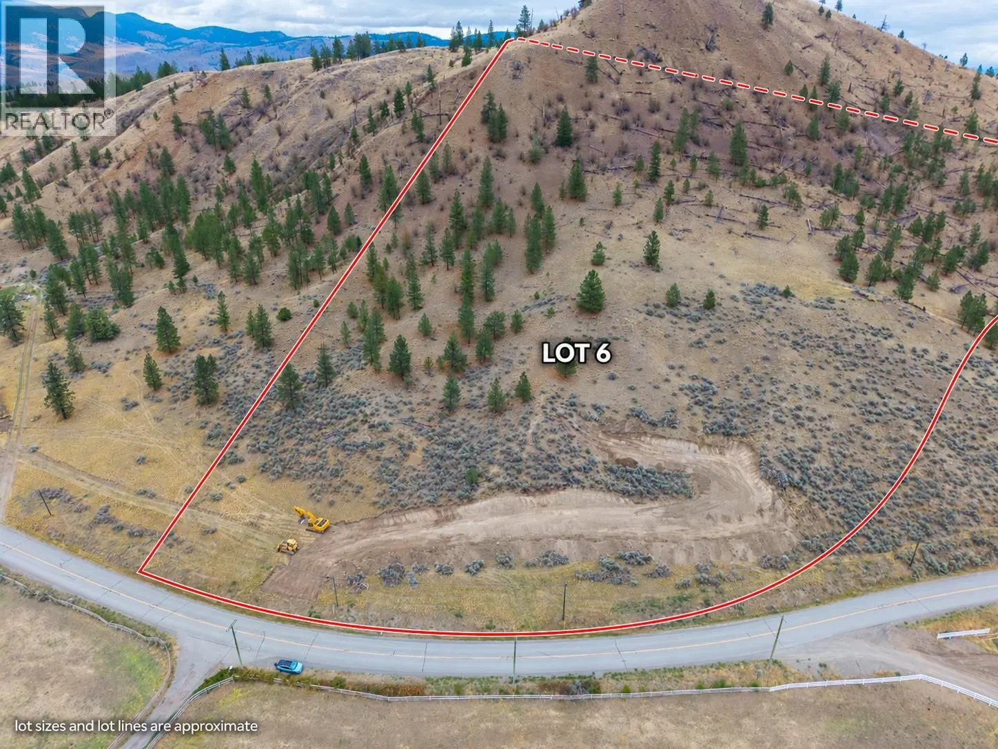
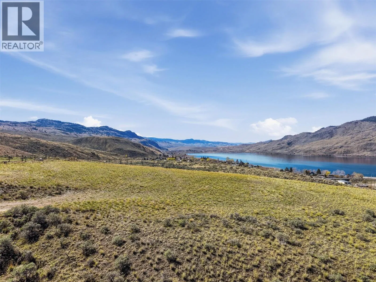
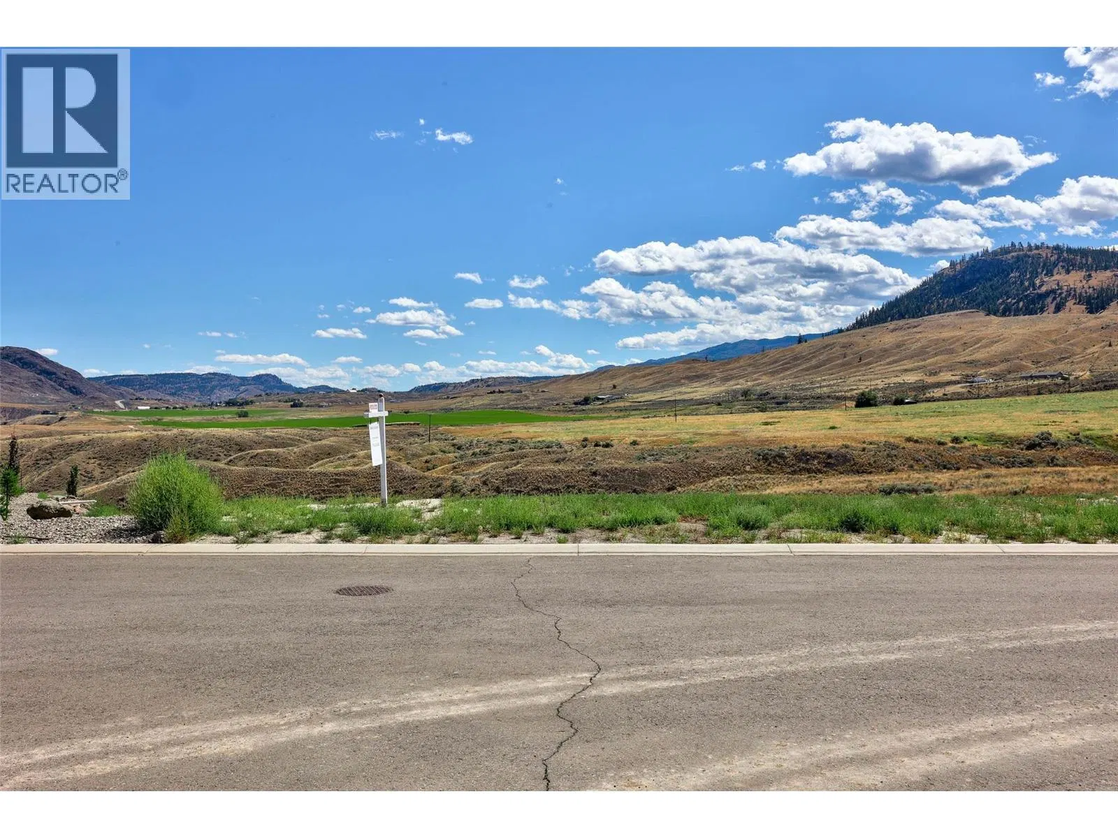
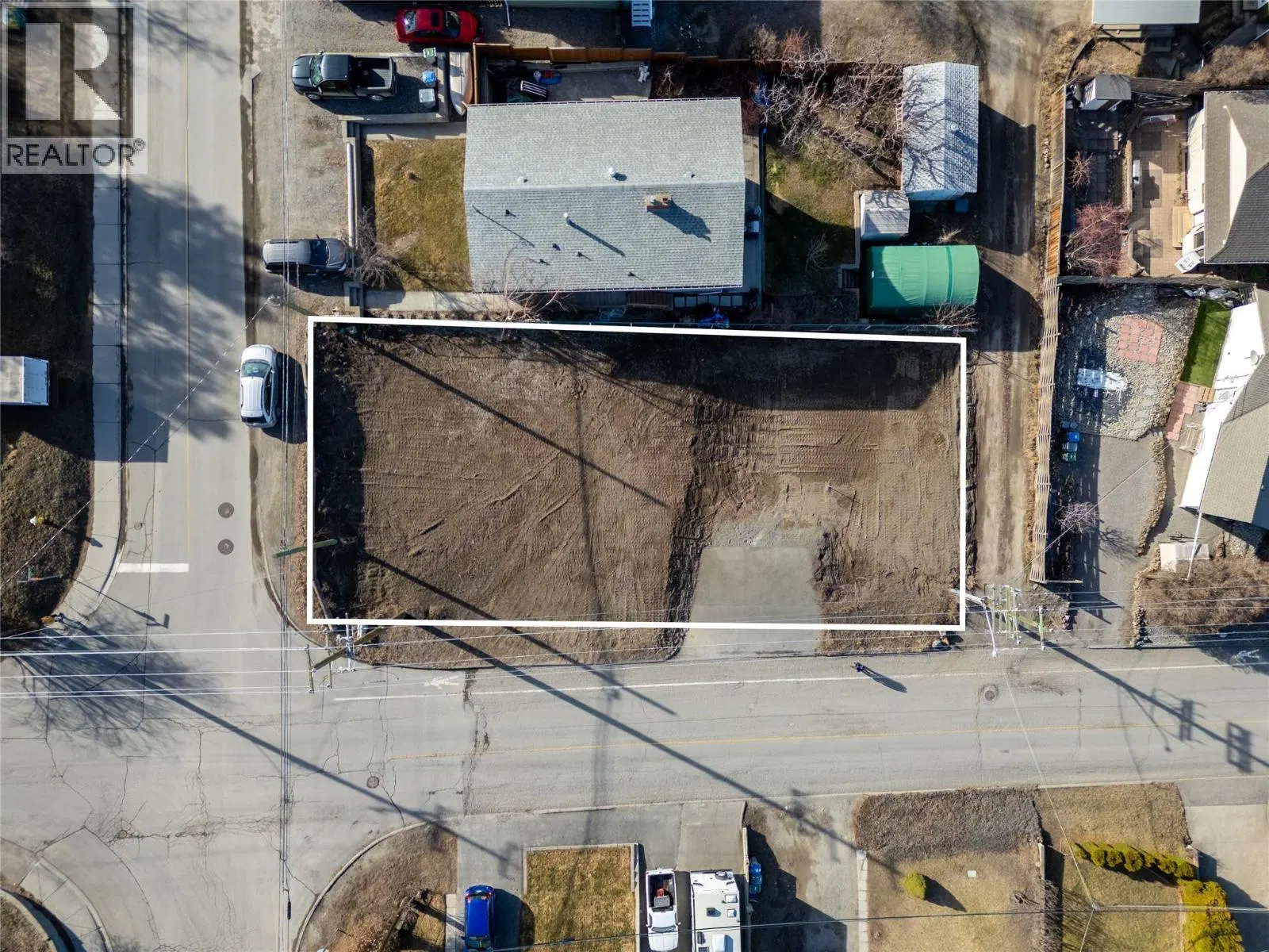
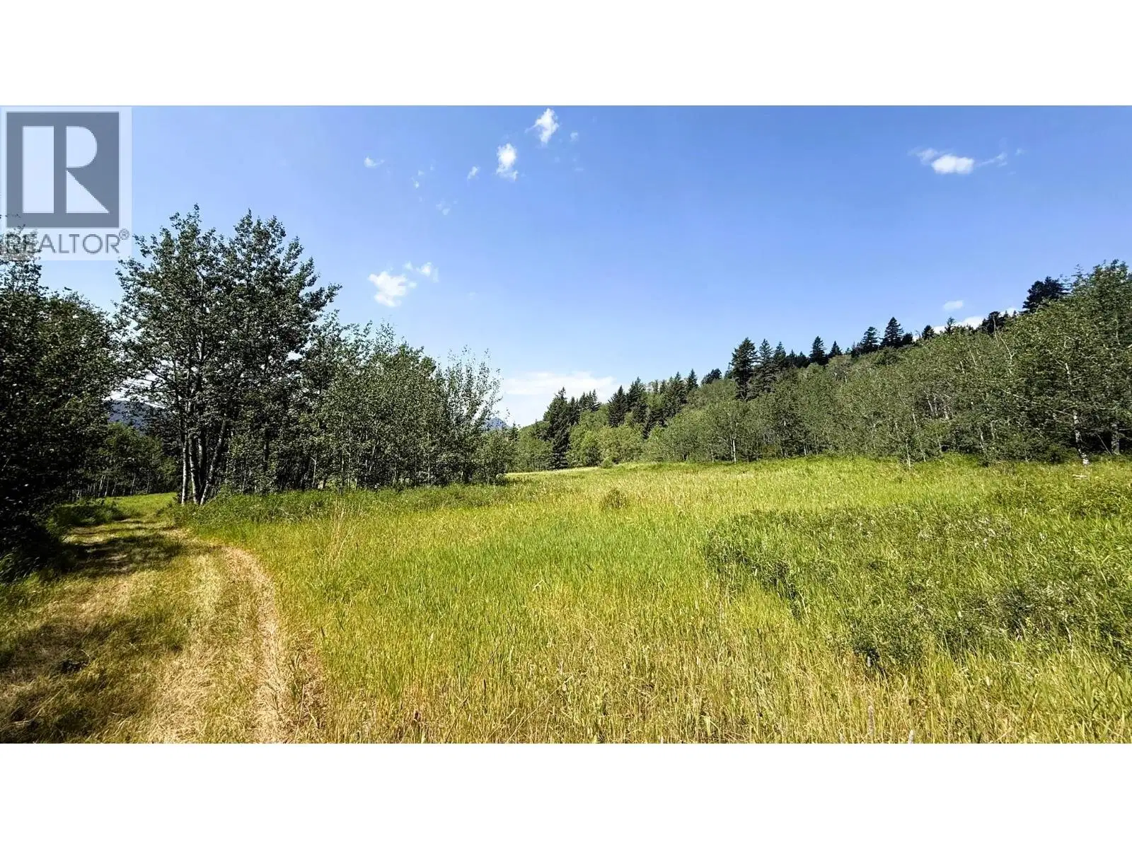
Discover the freedom & beauty of this exceptional 161+ acre off-grid acreage overlooking Pinantan Lake & the surrounding valley & mountain landscape. Bordering Crown land this private & expansive property offers endless recreational opportunities & an incredible setting for a rural retreat, homestead, or future build. There are multiple outstanding building sites each perfectly positioned to capture breathtaking panoramic views. The gently sloping, south-facing terrain & rich soils across the lower portion of the property provide excellent growing conditions along with ideal solar exposure for off-grid power development. A beautiful mix of soft & hardwood forest is complemented by open pasture areas & an abundance of seasonal wildflowers creating a diverse & picturesque landscape throughout the acreage. There are strong indicators of underground water, including a neighboring well producing 50+ GPM. Access is via approx. 1.7 km of dirt road branching off Pinantan-Pritchard Rd. Conveniently located 30 mins to Kamloops & within walking distance to the general store at Pinantan Lake; the property offers both privacy & accessibility. The access road continues through the land providing excellent internal access throughout the land. A neighboring property owner resides above the parcel & maintains the road. The perimeter is mostly fenced with only a small section left to complete. An excellent opportunity to own a highly usable & scenic rural acreage offering outstanding value.
Home facts
- Property type
- Vacant Land
- Area
- Pinantan
- Listed
- May 27, 2026
- Structure
- Other
- Frontage
- 2680 feet
- PID
- 004-835-743
- Common interest
- Freehold
Features and inclusions
- Lot
- Private setting, Sloping
Rooms and building
- Sewer
- No sewage system
- Water
- See Remarks
- Utilities
- Natural Gas, Electricity

The information contained on this site is based in whole or in part on information that is provided by members of The Canadian Real Estate Association (CREA), who are responsible for its accuracy. CREA reproduces and distributes this information as a service for its members and assumes no responsibility for its accuracy.
Monthly and upfront costs
Uses the posted 5-year rate (5.19%), 20% down and a 25-year amortization.
Monthly ownership costs
- Principal and interest
- $2,915
- Property tax
- $183/mo
- Home insurance
- $150/mo
- Estimated monthly total
- $3,248
Purchase snapshot
- List price
- $615,000
- Down payment
- $123,000 (20%)
- Estimated mortgage
- $492,000
Estimates only. They leave out utilities, upkeep and closing costs.
Borrowing costs
What money costs right now
The rates behind any payment estimate on this page.
- Prime rate
- 4.45%
- Variable mortgages are quoted against this.
- 5 year bond yield
- 3.68%
- Fixed mortgage pricing follows this.
- Policy rate
- 2.25%
- Set by the Bank of Canada.
These are benchmark rates, not mortgage quotes. Your rate depends on the lender, the term, and your file.
Source: Bank of Canada. As of 2026-09-29
Property tax
What the tax bill looks like
Municipal, regional, hospital and school rates combined.
- Estimated annual tax
- $4,215
- At 6.8535 per $1,000 of assessed value.
Estimated by applying the municipal rate to the asking price. Your actual bill is based on the BC Assessment value, which is set separately and usually differs from the sale price. Home owner grants are not included.
Source: Province of British Columbia, Local Government Statistics Schedule 702, 2026. As of 2026-01-01
Neighbourhood
Estimated travel times. Map data © OpenStreetMap contributors.
Climate
What the weather is like in Kamloops
Ten year average, 2016–2025.
- Average temperature
- 9.8°C
- Daily mean across the year.
- Yearly precipitation
- 221 mm
- On the drier side for BC.
- Bright sunshine
- 2,080 h
- Hours of sun a year, 1981–2010 average.
Averaged from the last ten complete years of Environment Canada observations at the nearest principal station, so it reflects the climate as it is now rather than a thirty year normal. Bright sunshine is the exception: it is no longer measured at these stations, so that figure is the long term average.
Source: Environment and Climate Change Canada, monthly climate summaries
Land and hazards
What the maps say about this land
Provincial designations and mapped natural hazards at this location.
- Agricultural Land Reserve
- In the ALR
- Provincial farmland protection restricts subdivision and non-farm use.
- Wildfire interface
- Extreme risk
- In a mapped wildland-urban interface zone. Affects insurance and FireSmart requirements.
Based on where this point falls in provincial map layers, not a site survey or a formal hazard assessment. Confirm with the municipality, a professional, and your insurer before relying on it.
Source: BC Geographic Warehouse (Agricultural Land Commission, BC Wildfire Service)
Most listed
Detached · 53%
Who lives here
Documents
Pick the records you want. Ray Rasouli will email what the listing brokerage shares.
Availability is not guaranteed. Review documents with a professional.