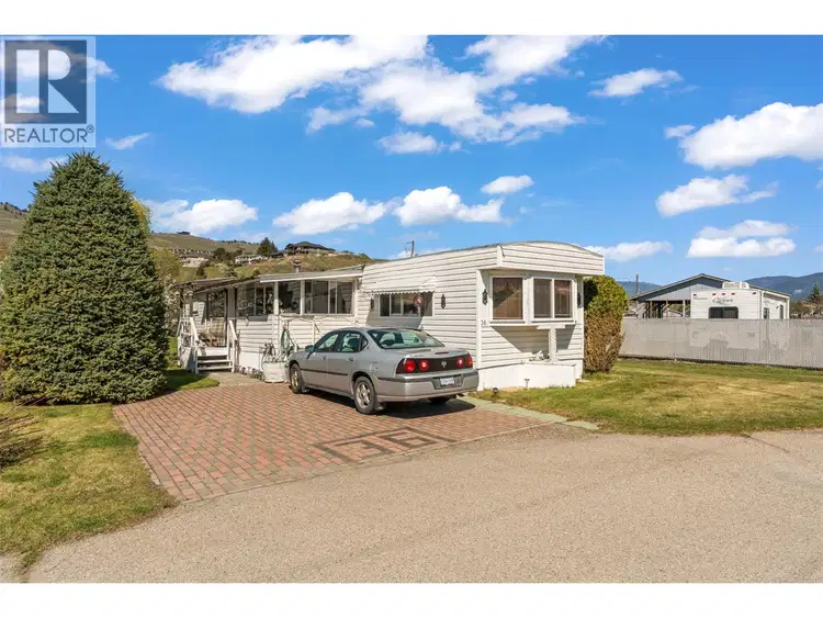
- Active
#36 – 2727 Lakeshore Road
Vernon · Single Family
- Beds
- 3
- Baths
- 1
Vernon · Single Family
Listed by RE/MAX Vernon Salt Fowler · MLS® 10386667
There is more to this listing. Create a free account to see the exact location, taxes, room sizes and price history.
Sign in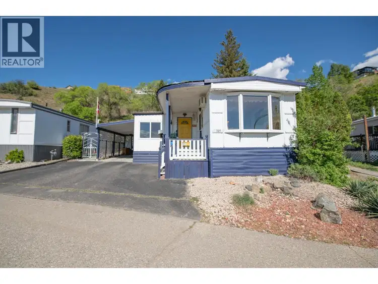
$149,000
$149/sqft
1 bd · 1 ba · 998 sqft
#321, 15401 Kalamalka Road
Vernon · Single Family
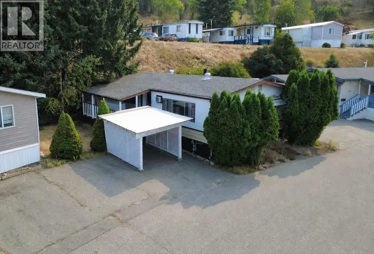
$149,000
$148/sqft
2 bd · 1 ba · 1,008 sqft
#308, 15401 Kalamalka Road
Vernon · Single Family
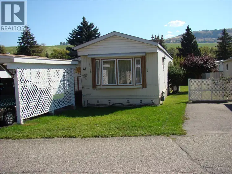
$149,900
$167/sqft
2 bd · 1 ba · 896 sqft
#41, 5484 25 Avenue
Vernon · Single Family
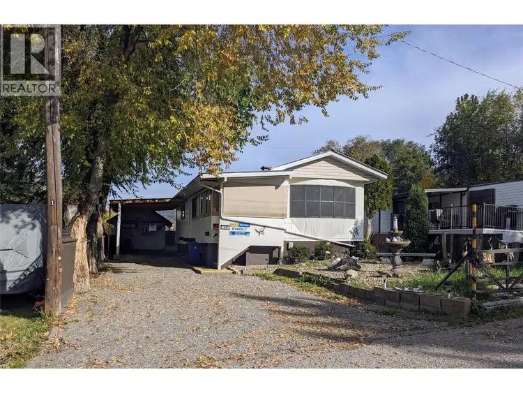
$119,700
$115/sqft
2 bd · 1 ba · 1,038 sqft
#34, 7400 Pleasant Valley Road
Vernon · Single Family
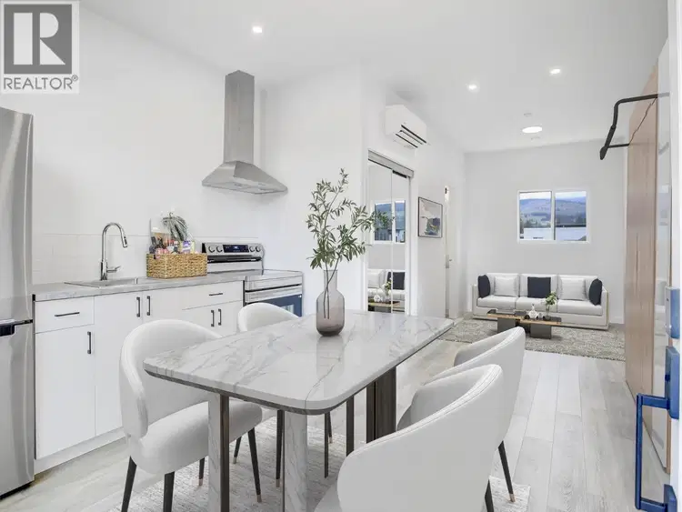
$159,800
$448/sqft
1 bd · 1 ba · 357 sqft
#208A, 12204 Westside Road
Vernon · Single Family
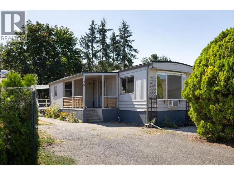
$124,900
$147/sqft
2 bd · 1 ba · 848 sqft
#39, 6902 Okanagan Landing Road
Vernon · Single Family
Tucked into the corner of a vibrant 55+ community just a short walk from the shores of Okanagan Lake, this home offers the chance to create an affordable lakeside lifestyle exactly the way you envision it. Whether you’ve been dreaming of a cozy beach-inspired retreat, a simplified downsizing lifestyle, or a fresh renovation project with real potential, this property is ready for its next chapter. Inside, the layout offers a bright living room filled with natural light, a galley kitchen with adjacent dining area, and a front porch that could become the perfect morning coffee sitting room. Down the hall a shared bathroom and 3 flexible rooms including a primary bedroom, guest room, and optional office or hobby space. Outside, the full shed provides room for bikes, tools, beach gear, and all the extras that come with Okanagan living. With electrical already signed off, now it’s your turn to bring the vision to life. Located walking distance to the lake, close to parks, beaches, public transportation and everyday amenities, this is an incredible opportunity to create an affordable home near the water in one of Vernon’s most desirable areas. 2 furry friends welcome with approval.

The information contained on this site is based in whole or in part on information that is provided by members of The Canadian Real Estate Association (CREA), who are responsible for its accuracy. CREA reproduces and distributes this information as a service for its members and assumes no responsibility for its accuracy.
Uses the posted 5-year rate (5.19%), 20% down and a 25-year amortization.
Estimates only. They leave out utilities, upkeep and closing costs.
Estimated travel times. Map data © OpenStreetMap contributors.
Most listed
Detached · 36%
Active listings within 3 km of this home.
Statistics Canada area 59370260 · Priest's Valley 6
Source: Statistics Canada, 2021 Census Profile, dissemination area 59370260.
Pick the records you want. Ray Rasouli will email what the listing brokerage shares.
Availability is not guaranteed. Review documents with a professional.
For investors
Estimated rent from CMHC average rents for the region, scaled to the bedrooms. Gross yield is 12 months of that rent over the asking price, before costs.
Property tax
Municipal, regional, hospital and school rates combined.
Estimated by applying the municipal rate to the asking price. Your actual bill is based on the BC Assessment value, which is set separately and usually differs from the sale price. Home owner grants are not included.
Source: Province of British Columbia, Local Government Statistics Schedule 702, 2026. As of 2026-01-01
Borrowing costs
The rates behind any payment estimate on this page.
These are benchmark rates, not mortgage quotes. Your rate depends on the lender, the term, and your file.
Source: Bank of Canada. As of 2026-10-29
Climate
Ten year average, 2016–2025.
Averaged from the last ten complete years of Environment Canada observations at the nearest principal station, so it reflects the climate as it is now rather than a thirty year normal.
Source: Environment and Climate Change Canada, monthly climate summaries
Land and hazards
Provincial designations and mapped natural hazards at this location.
Based on where this point falls in provincial map layers, not a site survey or a formal hazard assessment. Confirm with the municipality, a professional, and your insurer before relying on it.
Source: BC Geographic Warehouse (Agricultural Land Commission, BC Wildfire Service)