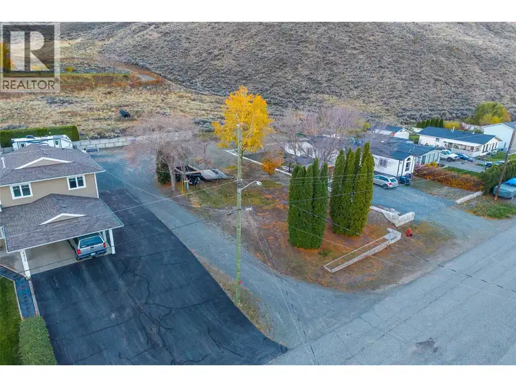
- Active
6964 Vista Drive
Kamloops · Vacant Land
Listed by Royal LePage Westwin Realty · MLS® 10405139
There is more to this listing. Create a free account to see the exact location, taxes, room sizes and price history.
Sign inKamloops · Vacant Land
Listed by Royal LePage Westwin Realty · MLS® 10405139
There is more to this listing. Create a free account to see the exact location, taxes, room sizes and price history.
Sign in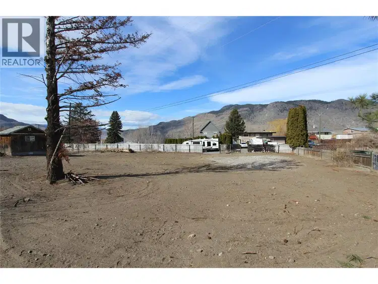
$149,900
7114 Hillcrest Drive
Kamloops · Vacant Land
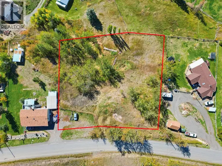
$119,000
PINANTAN PRITCHARD Road
Kamloops · Vacant Land
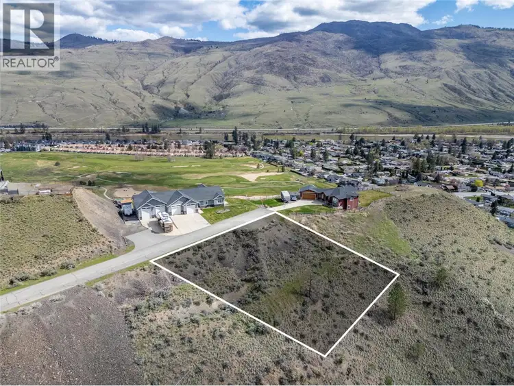
$119,900
#11, 950 IDA Lane
Kamloops · Vacant Land
$154,777
7040 WATSON Drive
Kamloops · Vacant Land
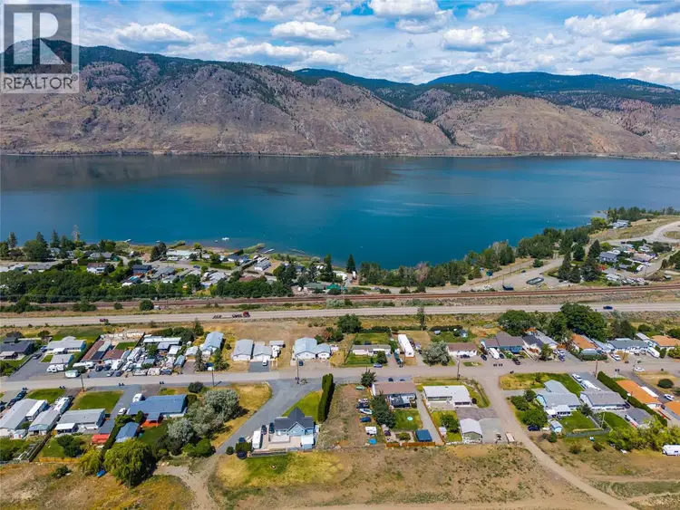
Ready to build your dream home in the quiet community of Savona? This flat, fully usable 0.25 acre building lot at 6964 Vista Drive is the blank canvas you’ve been waiting for. Zoned R1 for a single family home, with electricity and water at the lot line, this level and ready-to-build property makes it easy to start planning your custom home. Enjoy lovely lake views and the peaceful, small-town lifestyle Savona is known for, with quick and easy access to the Trans Canada Highway. You’re about half an hour from Kamloops, Logan Lake, Cache Creek, or New Gold Mine depending on the direction, making this a great location for commuters and anyone who wants peace and quiet without giving up convenience. Outdoor enthusiasts- you’ll love it here. You’re minutes from excellent boating and fishing on Kamloops Lake, and world-class golf is just down the road at Tobiano Golf Course. Explore the area’s many provincial parks and hiking trails, including Juniper Beach, the Castle Rock Hoodoos, and the Painted Bluffs. Whether you’re looking to build a vacation home, a weekend getaway, or make the move to full-time living in the established community of Savona, this affordable vacant land opportunity offers the lifestyle, location, and lake views you’ve been dreaming of. Don’t miss your chance to build in beautiful Savona, BC!

The information contained on this site is based in whole or in part on information that is provided by members of The Canadian Real Estate Association (CREA), who are responsible for its accuracy. CREA reproduces and distributes this information as a service for its members and assumes no responsibility for its accuracy.
Uses the posted 5-year rate (5.19%), 20% down and a 25-year amortization.
Estimates only. They leave out utilities, upkeep and closing costs.
Estimated travel times. Map data © OpenStreetMap contributors.
Most listed
Detached · 58%
Active listings within 8 km of this home.
Statistics Canada area 59331490 · Thompson-Nicola J (Copper Desert Country)
Source: Statistics Canada, 2021 Census Profile, dissemination area 59331490.
Pick the records you want. Ray Rasouli will email what the listing brokerage shares.
Availability is not guaranteed. Review documents with a professional.
Property tax
Municipal, regional, hospital and school rates combined.
Estimated by applying the municipal rate to the asking price. Your actual bill is based on the BC Assessment value, which is set separately and usually differs from the sale price. Home owner grants are not included.
Source: Province of British Columbia, Local Government Statistics Schedule 702, 2026. As of 2026-01-01
For investors
Estimated rent from Statistics Canada rents for this area, scaled to the bedrooms. Gross yield is 12 months of that rent over the asking price, before costs.
Climate
Ten year average, 2016–2025.
Averaged from the last ten complete years of Environment Canada observations at the nearest principal station, so it reflects the climate as it is now rather than a thirty year normal. Bright sunshine is the exception: it is no longer measured at these stations, so that figure is the long term average.
Source: Environment and Climate Change Canada, monthly climate summaries
Borrowing costs
The rates behind any payment estimate on this page.
These are benchmark rates, not mortgage quotes. Your rate depends on the lender, the term, and your file.
Source: Bank of Canada. As of 2026-10-29
Land and hazards
Provincial designations and mapped natural hazards at this location.
Based on where this point falls in provincial map layers, not a site survey or a formal hazard assessment. Confirm with the municipality, a professional, and your insurer before relying on it.
Source: BC Geographic Warehouse (Agricultural Land Commission, BC Wildfire Service)